Thread Starter
#1
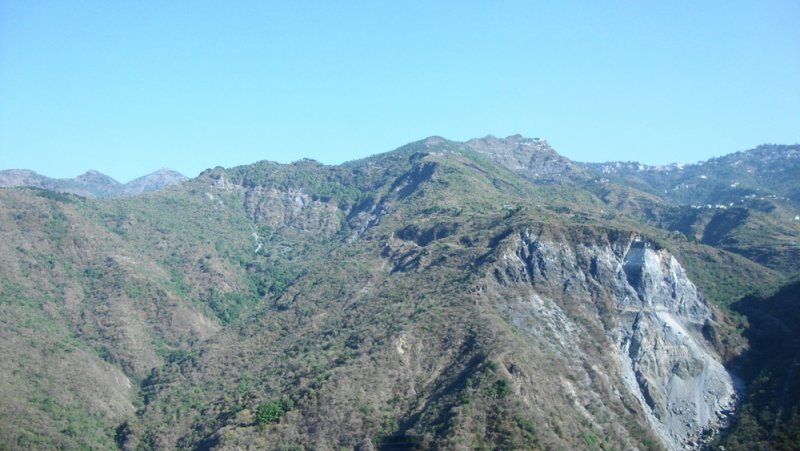
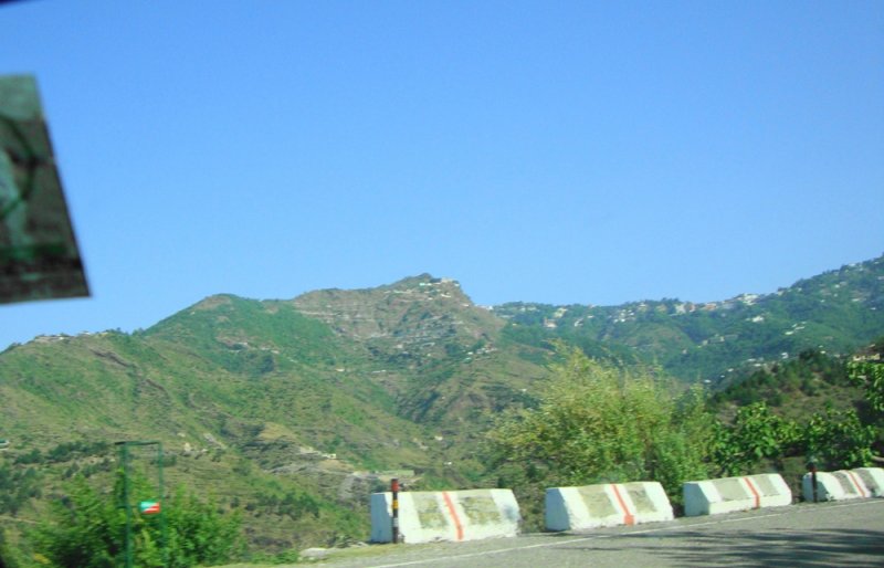
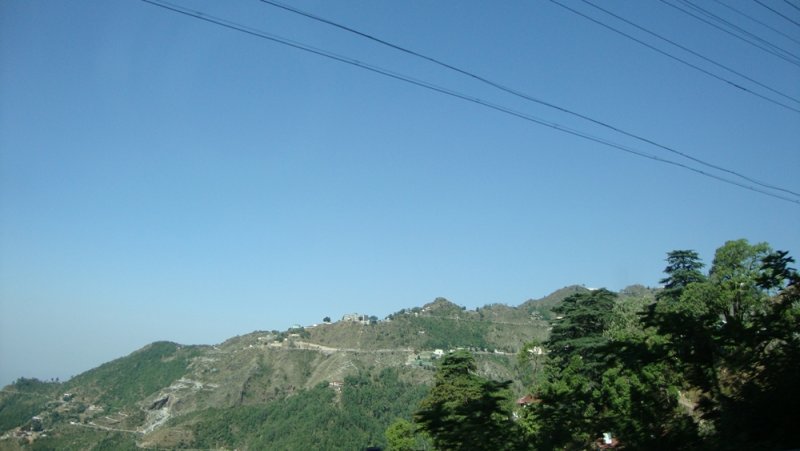
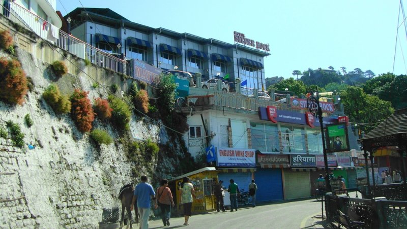
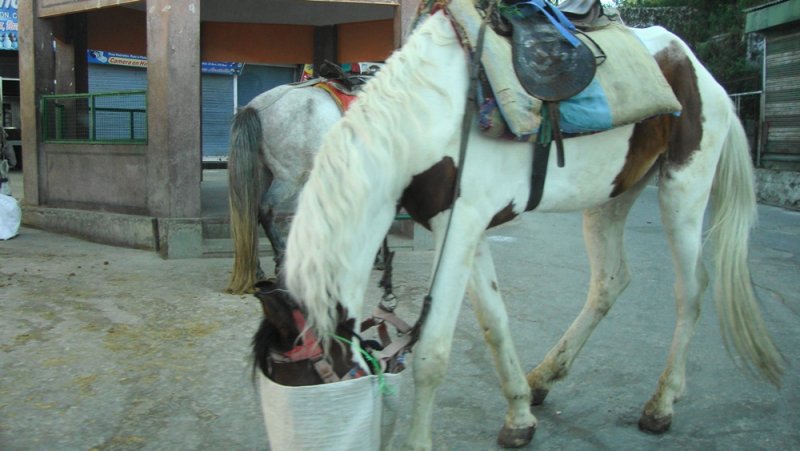
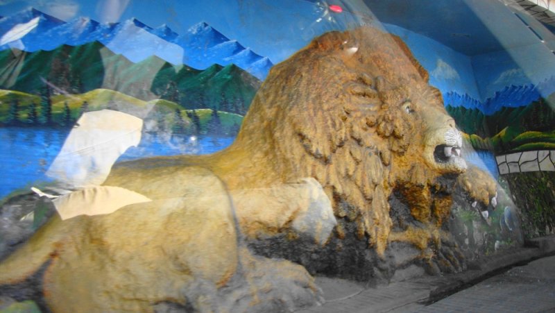
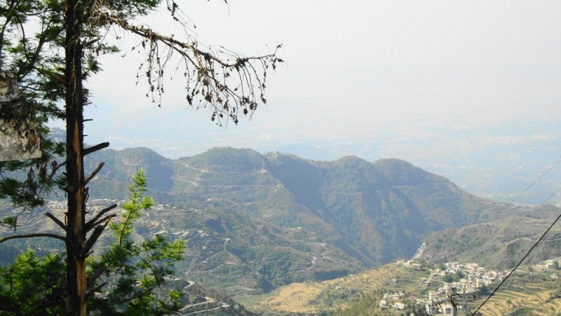
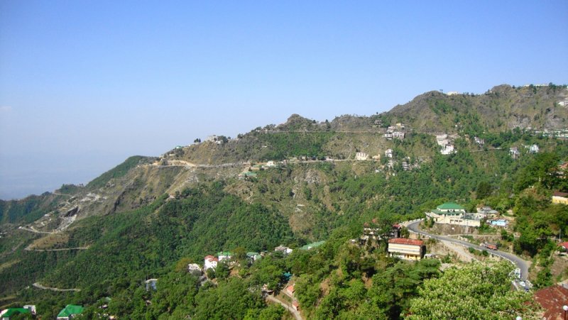
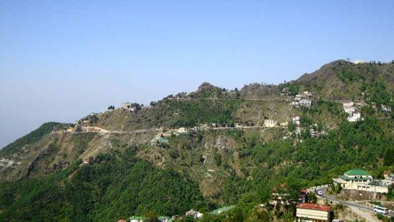
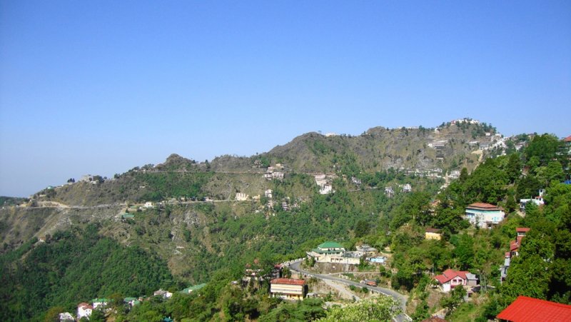
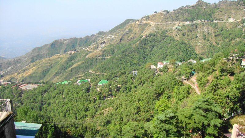
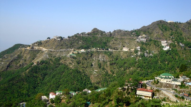
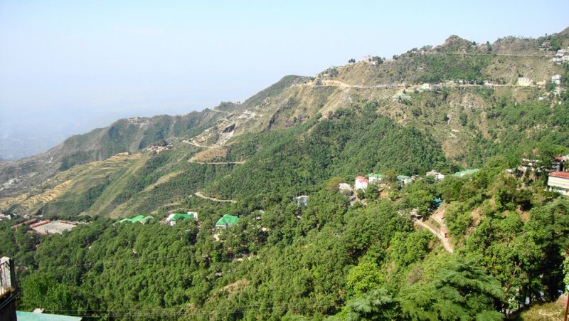
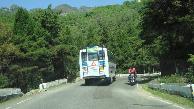
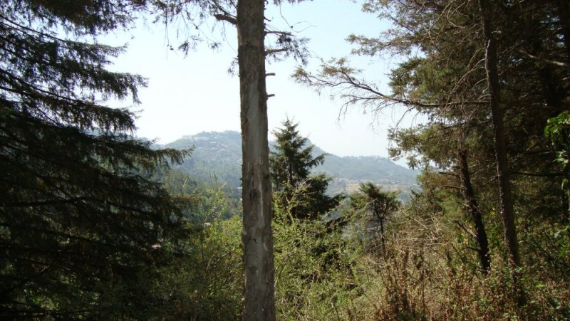
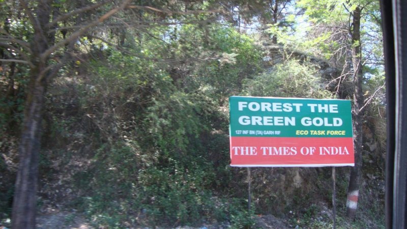
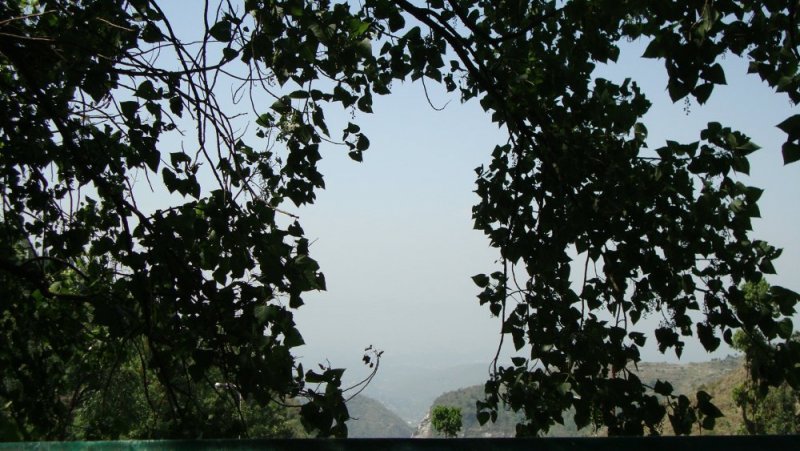
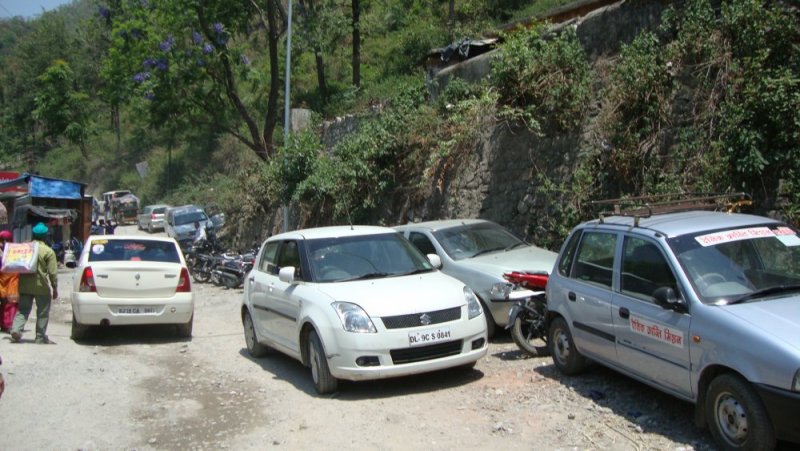
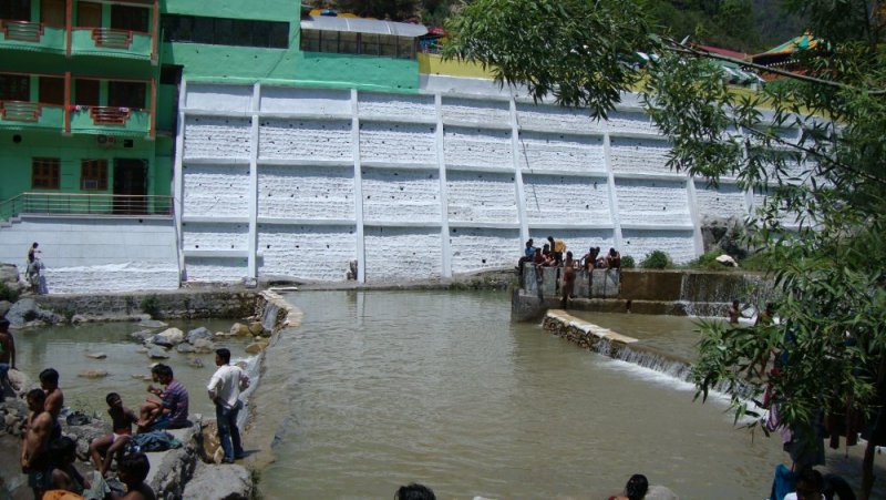
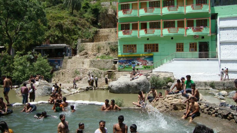
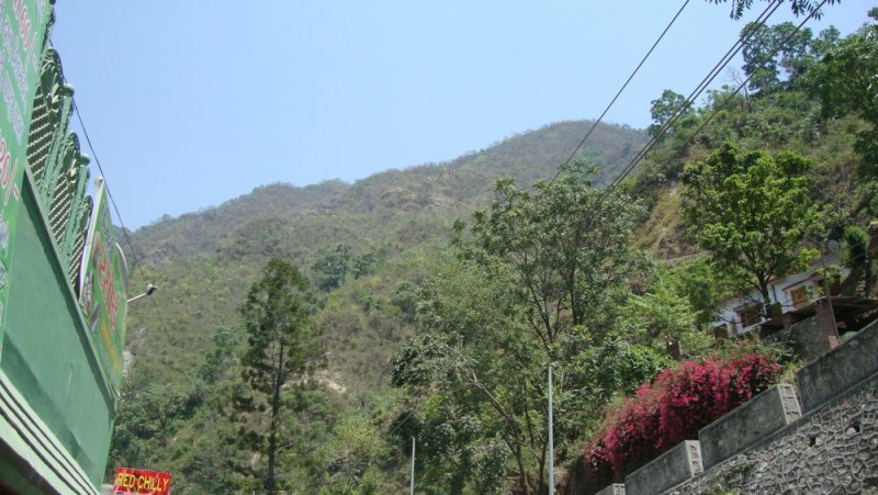
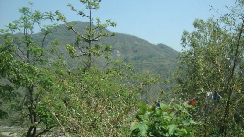
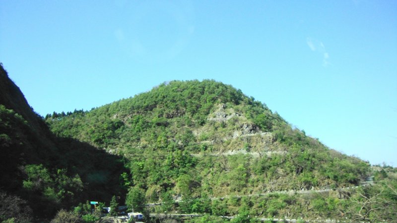
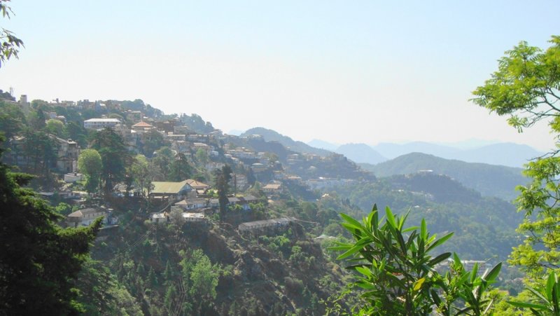
Hello TAI'ans, Let me share some pictures of Mussoorie, which is situated in Uttrakhand. These photographs were clicked during my first trip there recently. I wish if I could write a complete travelogue this time but, the current time boundation does not allow me to do so. Therefore I will keep it precise with more pictures than words. Hope everybody enjoys watching them. Following is an excerpt about Mussoorie from Wikipedia:
Must Visit?




Drive Safe,
350Z
Wikipedia said:
Mussoorie is a city and a municipal board in the Dehradun District of the northern Indian state of Uttarakhand. It is located about 34 km from the state capital of Dehradun and 275 km north from the national capital of New Delhi. This hill station, situated in the foothills of the Garhwal Himalayan ranges, is also known as the Queen of the Hills. The adjoining town of Landour, which includes a military cantonment, is considered part of 'Greater Mussoorie', as are the townships of Barlowganj and Jharipani. Being at an average altitude of 1,880 metres (6,170 ft), Mussoorie, with its green hills and varied flora and fauna, is a fascinating hill resort. Commanding snow ranges to the north-east, and glittering views of the Doon Valley and Shiwalik ranges in the south, the town was once said to present a 'fairyland' atmosphere to tourists. The highest point is Lal Tibba with a height of over 2,290 metres (7,510 ft).
Must Visit?
- Lake Mist
- Mossy Falls
- Kempty Falls
- Sahastradhara
- Mussoorie Lake
- Municipal Garden


Drive Safe,
350Z


